Mount Studencheskaya
Mountain in Jewish Autonomous Oblast, Russia
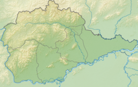

Mount Studencheskaya
Location in Jewish Autonomous Oblast, Russia
Jewish Autonomous Oblast,
Russian Far East
Mount Studencheskaya (Russian: Гора Студенческая) is a peak in the Jewish Autonomous Oblast, Russia. It is the highest point of the oblast.[2][3]
Description
Mount Studencheskaya is a 1,421 metres (4,662 ft) high mountain located near the southern end of the Bureya Range, close to the Khabarovsk Krai border.[1] It rises in the Obluchensky District, on the northern part of the Jewish Autonomous Oblast, north of the valley of the Sutara, one of the rivers forming the Bira, a tributary of the Amur.[1][4]
See also
References
- ^ a b c "Топографска карта M-53; M 1:1 000 000 - Topographic USSR Chart (in Russian)". Retrieved 20 December 2021.
- ^ a b c Mt Studencheskaya, Russia - PeakVisor
- ^ Еврейская автономная область - Географическое положение и рельеф
- ^ Google Earth
External links
- The Butterfly Fauna (Lepidoptera: Papilionoidea) of Jewish Autonomous Oblast (Russian Far East)
- v
- t
- e


