Mount Guton


Mount Guton
Location of Mount Guton in Azerbaijan
Show map of Azerbaijan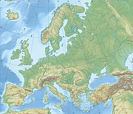
Mount Guton
Mount Guton (Europe)
Show map of EuropeGreater Caucasus
Guton [1] (Azerbaijani: Quton dağı) is a mountain on the border of the Republic of Azerbaijan (Balakan and Zagatala districts) and the Russian Federation (Republic of Dagestan). The southern slopes of Guton are included in the frame of the territory of the Zagatala Reserve.[2]
Geography
The mountain is located on the crest of the Main Caucasian Range. Its height constitutes - 3648 m. On the slopes of Guton, the Samur and Katekhchay rivers originate. Here are subalpine and alpine meadows, while the top of the mountain is rocky.[2]
See also
References
- ^ Азербайджан : Общегеографическая карта : Масштаб 1:750 000 / гл. ред. Г. В. Поздняк; ред.: Г. Ф. Кравченко, Н. Р. Монахова. Moscow: Роскартография. 2005. ISBN 5-85120-235-1.
- ^ a b Гутон // Азербайджанская советская энциклопедия. Vol. III. Baku. 1979. p. 287.
{{cite book}}: CS1 maint: location missing publisher (link)


