Chagama Falls
Waterfall in Akita Prefecture, Japan
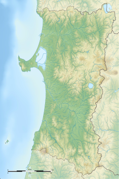

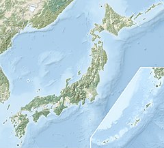

Akita Prefecture, Japan
Chagama Falls (茶釜の滝, Chagama-no-taki) is a waterfall in the Hachimantai district of Kazuno, Akita Prefecture, Japan, on the Yoakeshima branch of the Yoneshiro River. It is one of "Japan’s Top 100 Waterfalls", in a listing published by the Japanese Ministry of the Environment in 1990. The falls have a height of 100 meters, making it one of the tallest on the list of 100 Waterfalls. The falls are also one of the most remotely located on the listing, requiring a hike of 5.5 kilometers across very rough terrain to reach.
External links
- (in Japanese) Ministry of Environment Archived 2017-07-09 at the Wayback Machine
| Authority control databases: Geographic |
|
|---|
40°0′40″N 140°33′27″E / 40.01111°N 140.55750°E / 40.01111; 140.55750
- v
- t
- e


