Capão do Leão
Town in Rio Grande do Sul, Brazil
Town in South, Brazil
Flag

Seal
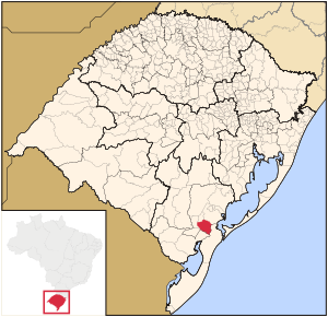
Map of the state of Rio Grande do Sul, Brazil highlighting Capão do Leão
(2020 [1])
Capão do Leão is a Brazilian municipality in the southern part of the state of Rio Grande do Sul. The population is 25,409 (2020 est.) in an area of 785.37 km2.[2] The city hosts the main campus of Universidade Federal de Pelotas, the largest higher education institution in the southern portion of Rio Grande do Sul.
Bounding municipalities
- Pelotas
- Rio Grande
- Morro Redondo
- Cerrito
- Pedro Osório
- Arroio Grande
References
External links
- Official website of the town hall
- https://web.archive.org/web/20070930210757/http://www.citybrazil.com.br/rs/arroiogrande/ (in Portuguese)
Authority control databases | |
|---|---|
| International |
|
| National |
|


